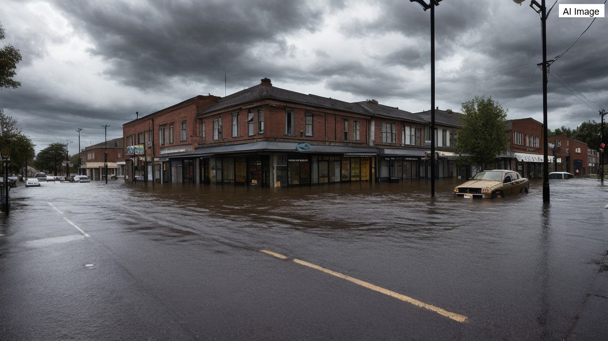
New York City moved into emergency footing on Tuesday evening as a slow moving storm system dumped torrential rain across the tri-state region, touching off flash floods, tornado warnings and widespread travel chaos. City leaders announced they would open more than 50 overnight emergency shelters at public schools across the five boroughs, a step reserved for nights when officials fear the rain could turn deadly. The shelters were set to open at 8 p.m., and residents were told that service animals and pets would be welcome.
Forecasters kept a flood watch in effect until the following morning and warned that the area remained under a high risk for flash flooding. Tornado warnings had already been issued across the tri-state during the day, with a tornado watch in place for southern Ocean County until 10 p.m. and severe thunderstorm watches running until 8 p.m. Meteorologists described repeated rounds of storms that kept training over the same neighborhoods, a pattern known as back building that sharply raises the danger of sudden flooding.
The decision to open shelters was aimed in large part at the New Yorkers who live in basement apartments, among the most vulnerable places to be when water rises fast. Officials urged anyone living in those units to head to one of the city's overnight safe locations, recalling how quickly floodwater can trap people below street level. The warning carried particular weight in Queens, where the memory of past drownings in basement homes still shapes how residents respond to heavy rain.
In New Jersey, the town of Paterson was among the hardest hit, with video showing water gushing down streets and pooling as high as two feet in some areas. One property owner, Saman Hussein, said his garage flooded and his boiler was ruined, leaving him facing thousands of dollars in repairs and a broken garage door, damage he said had struck the same property before. A few miles away in Hawthorne, crews documented floodwaters that had not fully receded after the community was inundated on back to back nights.
In Fresh Meadows, Queens, residents braced for a second round of flooding as they were still cleaning up from an earlier storm. Along 153rd Street, neighbors lined their homes with sandbags, sealed entry points and readied sump pumps, dehumidifiers and squeegees. Families there recalled the deaths in flooded basement apartments during Hurricane Ida in 2021, and said that despite repeated sewer upgrades over the years, the flooding kept returning to the same low lying blocks.
Rainfall totals underscored how lopsided the storm was. Radar estimates pushed four, five and even six inches of rain over northern and northwestern New Jersey, with more than five inches reported in parts of Sullivan and Ulster counties and in Warren and Hunterdon counties, while New York City itself had seen only a fraction of that early on. Meteorologists cautioned that the heaviest rain was likely to swing toward the city and Long Island during the overnight hours, with rainfall rates near two inches per hour capable of triggering flash flooding.
The storms also snarled air travel, with JFK and LaGuardia airports placed under a ground stop into the evening as thunderstorms churned around the region. Forecasters said the worst of the rain should push east of New York City by the early morning commute, shifting toward Connecticut, Long Island and the Hudson Valley, but they warned that early commuters could still face flooded roads and low visibility. With the system expected to linger for days, officials repeated the same plea throughout the night: if you come upon a flooded roadway, turn around.