Severe thunderstorms swept across the New York metropolitan region, leaving a trail of downed trees, flooding, and scattered damage in their wake. According to Eyewitness News, the storms made what meteorologist Jeff Smith described as a clean sweep across northern New Jersey, New York City, Long Island, the upper Hudson Valley, and parts of Connecticut, with heat and humidity helping to fuel them as they moved through.
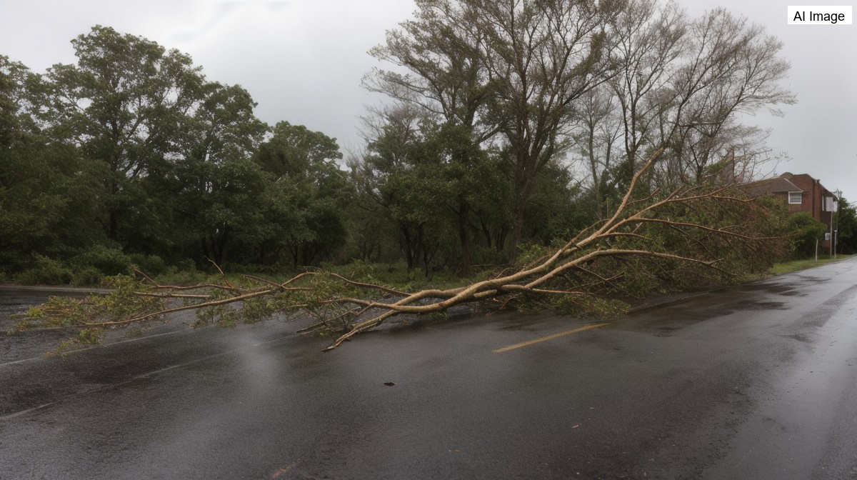
Some of the most striking damage came from falling trees. In New Jersey, a big tree came down directly onto an Amazon truck, and the station reported hearing from a good Samaritan who rushed in to help a worker who was still inside. In Brooklyn, a massive tree in Windsor Terrace was no match for the storm, and neither was a car beneath it, which was left crushed after the tree came down.
Flooding was another major problem as the storms moved through the area. Eyewitness News pointed to Union Avenue in Paterson and Route 1 and 9 in Jersey City as trouble spots for high water, and reported the same scenario on the Saw Mill River Parkway near the border between the Bronx and Yonkers, where flooding piled onto the evening's list of hazards.
The storms also knocked out infrastructure and lit up the sky. In South Plainfield, thunderstorm winds brought trees and wires down, with the station sending reporter Anthony Carlo to the scene. In East Rutherford, lightning caused issues as of 5:48 p.m., when a pole was set on fire due to a lightning strike in that area, one of several distinct pockets of damage the station was tracking.
As the system pushed through Midtown and Lower Manhattan, the weather turned dramatic enough that one of the station's cameras went completely dark during the coverage. Forecasters described it as a dramatic afternoon and early evening as the storms moved on by, hitting the densely populated core of the region during a busy stretch of the day.
Not every part of the region cleared quickly. Another cluster of storms stretched from Northern Bergen County into Rockland County, where the cells sat over the same area for a couple of hours. That prolonged activity brought hail up to one inch in diameter in the Rivervale area, adding to the reports of wind damage and flooding that meteorologists were logging across the map.
Even as the storms moved off, forecasters warned the weather threat was not over. Meteorologist Jeff Smith said the dangerous heat that helped power the storms is sticking around through the weekend, keeping the combination of high temperatures and humidity in place across the region and leaving open the possibility of more unsettled weather in the days ahead.